|
Xpand IT has created Fusioncharts plugin, which integrates attractive and interactive FusionCharts graphics with Pentaho suite ability to transform data that comes from many sources into valuable information. |
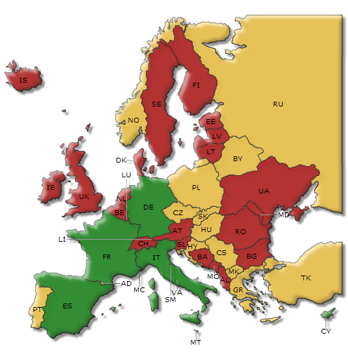
With this new feature through FusionCharts plugin, you can now use FusionMaps to create interactively and Flash animated web-application-driven maps. With this application, you can show geographic data sorted by categories, regions or entities, such as election results, air routes, business data, etc…..
Maps are XML moved and can be integrated with any server-side technology (ASP, ASP.NET, PHP, JSP, ColdFusion, Ruby on Rails, etc) and database. FusionMaps offers more than 500 maps, including all continents…
Key Features
 |
 |
– Supports both versions of Fusion Charts, the free version which is open source and the enterprise version.
– Designed as a Pentaho plugin enabling direct access to charts through the user console. After installation and configuration charts and widgets can be directly open by double-clicking on the file icon inside the Pentaho User Console.
– A new component for the Community Dashboard Framework (CDF) is also included. This approach makes dashboard integration extremely easy as Fusion Charts are used in the same way as all the other chart libraries.
– Charts can optionally be rendered using JavaScript (HTML5) making it compatible with both iPhone and iPad devices.
– The plugin architecture is designed to make these feature URL addressable allowing an easy integration with third party web applications.
Contact us and find out the new features of FusionCharts plugin powered by Xpand IT.